
7+ years of turning reality capture into business intelligence.
.avif)
.avif)
.avif)
.avif)
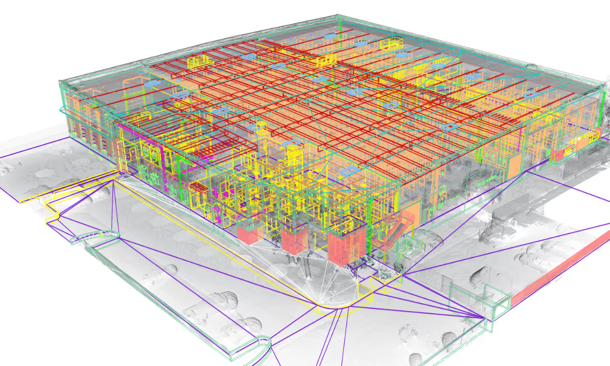
We capture your projects down to the millimeter with LiDAR scanning and photogrammetry, then build 3D models and digital twins that make it easier to design, build and maintain any kind of infrastructure, from buildings to roadways.
A MANTIS LAB project
We make your assets safer with advanced inspections. Using photogrammetry and LiDAR, we build detailed 3D models of your infrastructure so you can spot anomalies, assess integrity and plan expansions with total confidence.
.avif)
A MANTIS LAB project
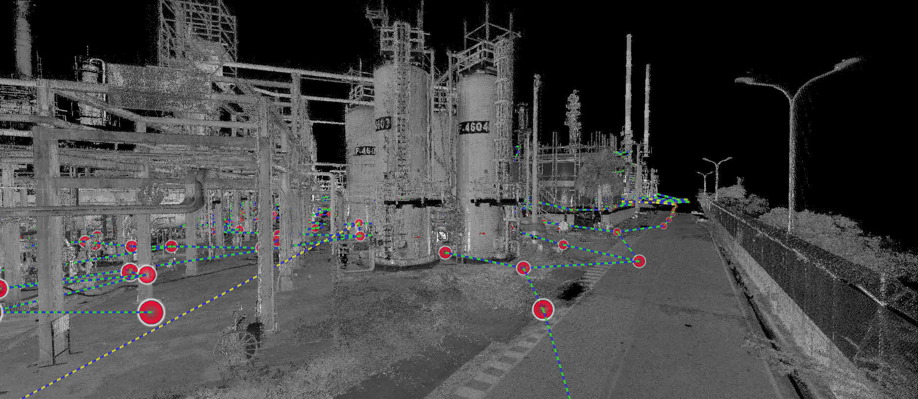
We help you run your assets and operations more efficiently. Detailed inspections of structures and corridors help prevent failures, and we georeference every key asset (machinery, piping, equipment) to give you a digital inventory you can actually use for decisions and maintenance.
.avif)
A MANTIS LAB project
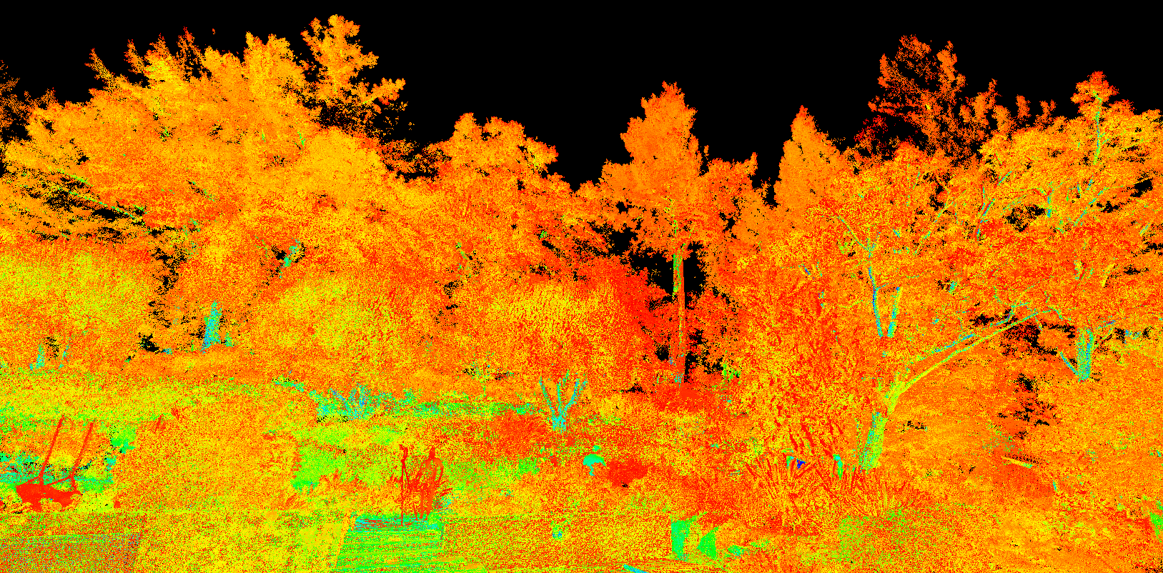
We bring precision to the way you manage your land. With drones and LiDAR sensors, we run forest inventories, analyze crop health and fine-tune resource use so your operation is more productive and more sustainable.
A MANTIS LAB project
We help you run your properties better and grow their value. Our detailed 3D models make asset management, inventory and space planning a lot easier, so you get the most out of every square foot and have the business intelligence to stay in full control of your facilities.
.avif)
A MANTIS LAB project
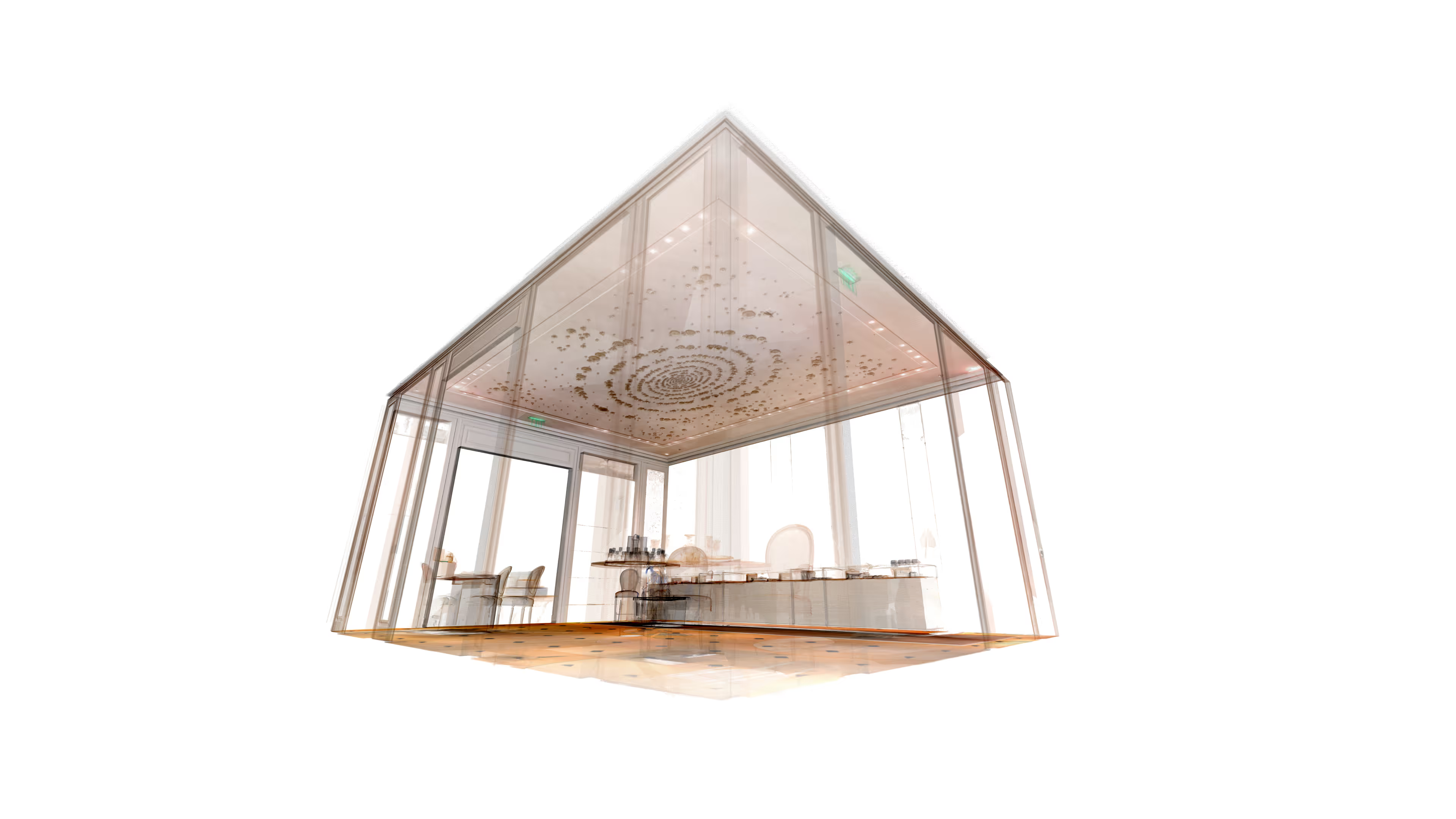
We preserve heritage with stunning realism. By pairing photogrammetry with Gaussian Splatting, we create smooth, interactive 3D replicas that capture every detail of artworks and historic sites, ready to share with the world and protect for the future.
A MANTIS LAB project
.avif)
Amy Belt
Principal, Evolved Outdoor
.avif)
Jared King
Project Manager, Interserv LP
.avif)
Alex Sheft
Principal, Sheft Farrace
.avif)
.png)
.png)
.png)
.png)